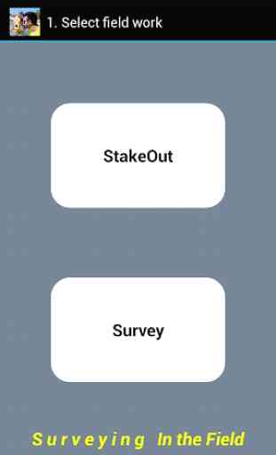
Surveying In the Field
È possibile lavorare indipendente nel campo con qualsiasi stazione totale.
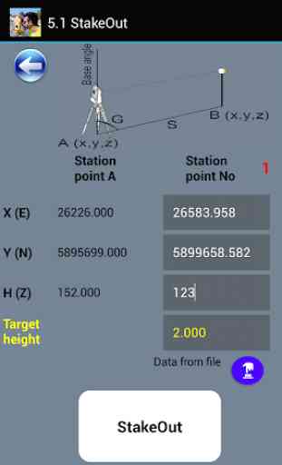
In modalità picchettamento è possibile utilizzare la tastiera o di dati da file.
In modalità Survey è possibile memorizzare le misure e le coordinate in un file.
Semplice per chi sa cosa fare.
Scarica anche i nostri applicazioni gratuite:
"NET geodetici" da Google Play
https://play.google.com/store/apps/details?id=com.GeodeticNET&hl=en
"Topografia al volo" da Google Play
https://play.google.com/store/apps/details?id=com.TopOgraphy.OntheFly&hl=en
Invia feedback e la velocità.
Categoria : Strumenti
Ricerche associate
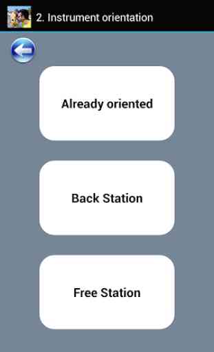
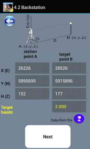
Free station . Nello stake out e survey quando si fa free station non funziona . High istrumento = 1,5 ml Hight target = 1,5 ml [ ] = No elev A= 30 ; 70 B= 70 ; 10 A dist ( s ) = 76,1577 ml HR ( Ang ) = 25,776212 grad B dist ( s ) = 70,7107 HR ( Ang ) = 90,966553 grad Dopo aver inserito tutti i dati e digito " Calc " scompare la schermata e app finisce e compare desktop dello smartphone . Non funziona Saluti Consuelo Calchini Carrara 13 ottobre 2021